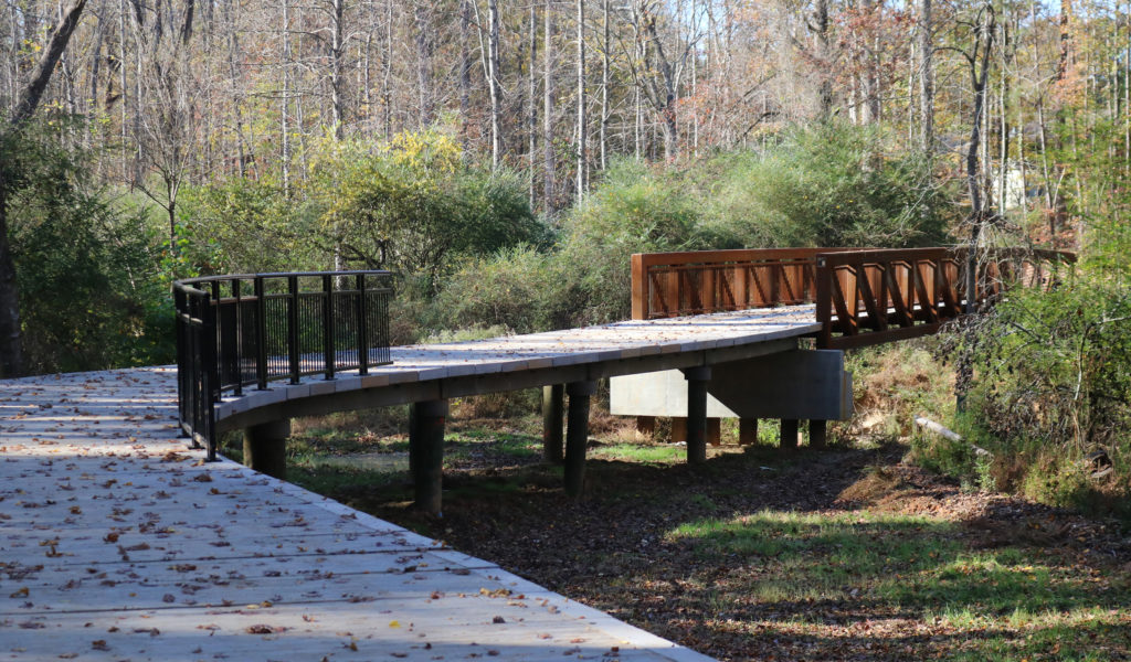
The Sugar Hill Greenway offers a way to get outside and immerse oneself in nature in the heart of Sugar Hill. The first leg of the 16.5-mile planned greenway is open to the public, and it is peaceful and beautiful.
The first leg of the greenway is 4.5 miles long and runs from the downtown area up Level Creek Road to E. E. Robinson Park North. Then, it runs to Peachtree Industrial Boulevard to E. E. Robinson Park South. From there, it continues south along Peachtree Industrial Boulevard before turning west back toward Level Creek Road. The trail crosses over Level Creek Road at Gold Mine Park and then cuts over to Whitehead Road ending the first 4.5 mile section at Bethany United Methodist Church.
Along the first leg, visitors can park their cars at several spots to enter the trail, including downtown Sugar Hill along West Broad Street, at both E. E. Robinson Park North and South and Gold Mine Park, which will open soon.
The trail is entirely paved or has bridges across areas where pavement is not possible, making the trail accessible to pedestrians, bicyclists, wheelchair users and joggers. The use of golf carts, motorcycles or anything motorized is prohibited along the greenway.
The most scenic section of the first leg is in between Gold Mine Park and Whitehead Road. Now, the leaves are beautiful colors and, come spring, pink lady slipper flowers can be seen along the trail. Pink lady slippers are a state protected flower and are hard to find in the wild. Squirrels and other wildlife are plentiful along that section. Deer can be spotted, especially near Level Creek. Animal prints from raccoons, deer and even coyotes are visible in the mud and silt along the banks of Level Creek.
For more information on the Sugar Hill Greenway, click here.
FEATURED PHOTO: The largest bridge of the Sugar Hill Greenway spanning Level Creek awaits custom fabricated railing. Photo by Alicia Payne.

